Crop segmentation, keypoint annotation, and field-imagery labeling from real annotated datasets we've delivered.
Raw and annotated samples from our agriculture work, anonymized under NDA.
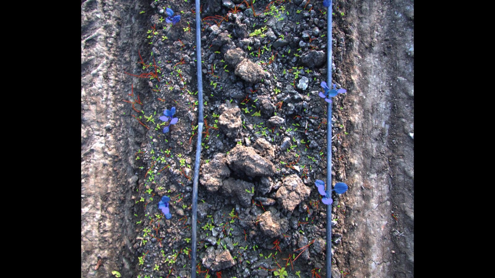
Crop segmentation & keypoint labeling
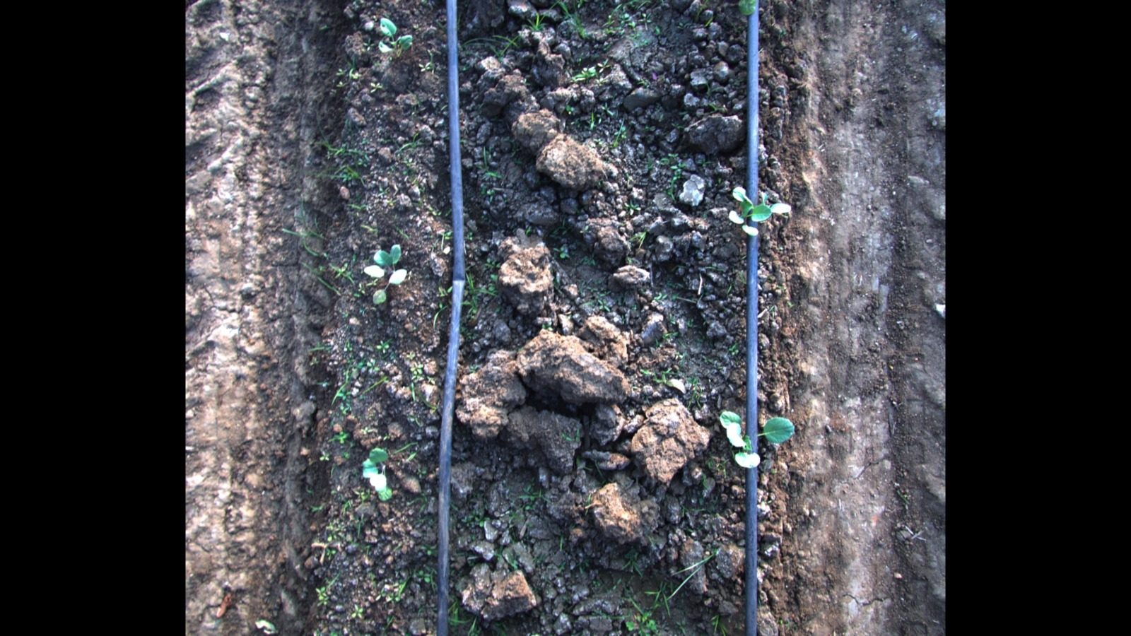
Unlabeled capture for ground-truth builds
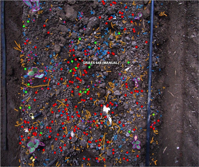
Wheat crop RGB tile annotation
Pixel-level crop/weed and plant segmentation from field and drone imagery.
Plant keypoints, growth-stage labeling, and object counting for yield models.
Multi-band and RGB tile annotation for satellite and drone pipelines.
Object detection labels for machinery, livestock, and field features.
Send a sample of your field data, and we'll return annotated examples and a fixed-scope quote.
Request a Sample BatchField photos, drone imagery, and multi-band or RGB satellite tiles, including crop segmentation, object detection for machinery and livestock, and plant keypoint counting.
Yes. We label multi-band and RGB tiles for satellite and drone pipelines with pixel-level segmentation and geospatial schemas.
Field imagery and crop data: raw and annotated samples from real agriculture work, anonymized under NDA.
Yes. Real annotated field imagery from production projects, no stock renders.
Send a sample of your imagery; XYNTRIQ returns annotated examples and a fixed-scope quote.
 XYNTRIQ