Satellite and remote-sensing imagery annotation: land-cover segmentation and object labeling from real datasets.
Anonymized samples from our geospatial work: satellite scenes, segmentation, and labeling.
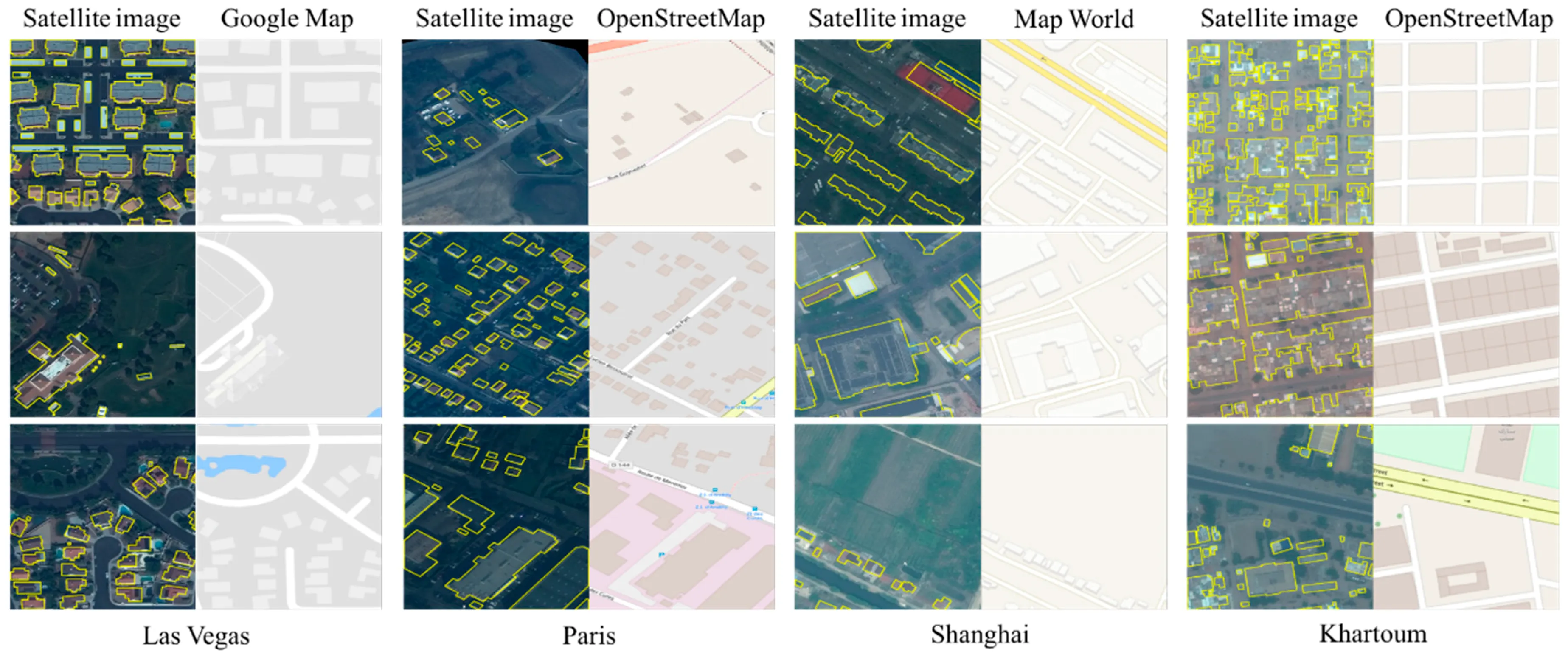
Remote sensing & satellite segmentation
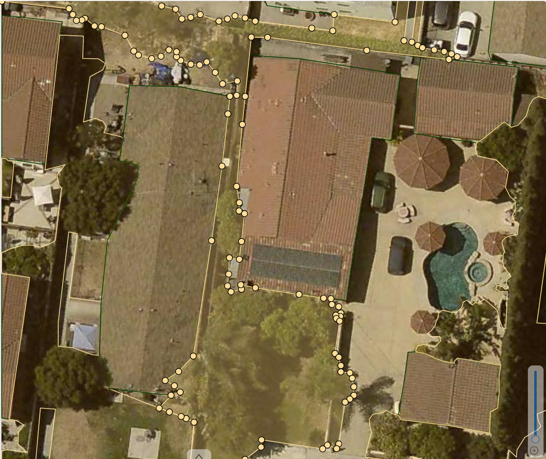
Satellite scene classification
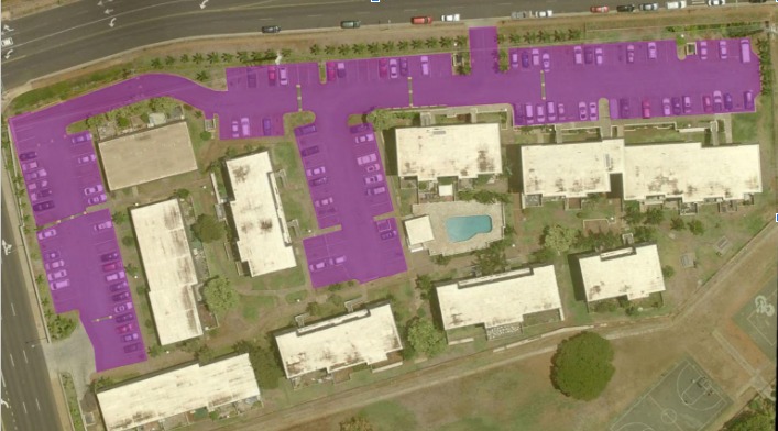
Feature detection on aerial views
Pixel-level segmentation of built-up, vegetation, water, and bare land.
Buildings, roads, vehicles, and infrastructure from satellite and aerial views.
Tile and scene-level labeling for large-area mapping.
Multi-temporal labeling to support change-analysis pipelines.
Send a sample of your imagery, and we'll return labeled examples and a fixed-scope quote.
Request a Sample BatchSatellite scenes, aerial imagery, and multi-band tiles, with pixel-level segmentation, object detection, and geospatial schema labeling.
Guideline-driven labeling, automated validation, expert review, and batch-level traceability with accuracy reporting.
Satellite scenes, segmentation, and labeling for remote sensing, delivered as real annotated imagery.
Yes. Anonymized samples from production geospatial work, not stock renders.
Send a sample of your scenes; XYNTRIQ returns labeled examples and a fixed-scope quote.
 XYNTRIQ